


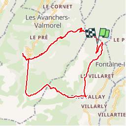


13,1 km | 28 km-effort

Utilisateur


Application GPS de randonnée GRATUITE
 SityTrail
IGN / Instituts géographiques
SityTrail World
Le monde est à vous
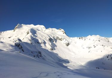
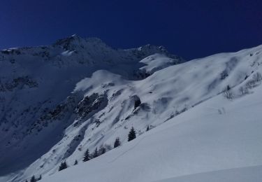
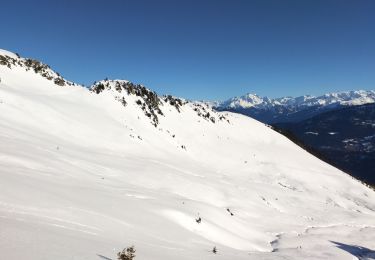
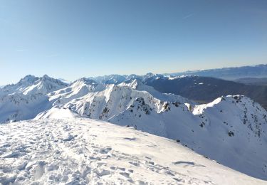
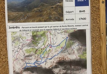
Randonnée Marche de 18,1 km à découvrir à Auvergne-Rhône-Alpes, Savoie, Les Belleville. Cette randonnée est proposée par zazie.
Départ effectué depuis la montée mécanique de Pierrafort. Vue sur le massif du Mont-Blanc après le village Le Novallay et le plan Lachat. Après le Plan Lachat, bien rester sur le chemin forestier.


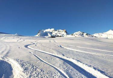
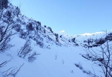
21 photos au total. Cliquez sur une photo pour les afficher toutes dans la galerie.
Ski de randonnée
Ski de randonnée
Ski de randonnée
Ski de randonnée

Marche

V.T.T.
Ski de randonnée
Ski de randonnée
Marche
Erreur dans la saisie de la catégorie de difficultés, i' s'agit plutôt d'une randonnée moyenne. Envoi de la fiche trop rapide. Désolé